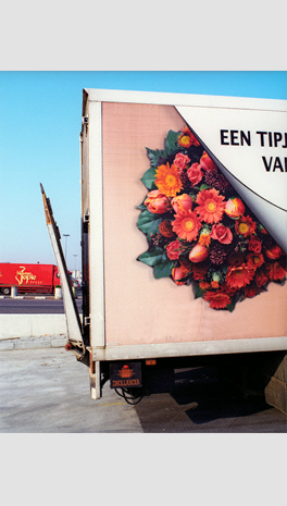
Locate your deliveries
The technology “Wellcom GPS” provides solutions of intelligent location to be more competitive in the vehicles location, route optimization and logistic planning.
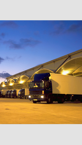
For all companies, validating in what place is their product or service is a complex task. The goal is always to use resources more effectively, and the tangible resources owned by a company are transport vehicles, fuel, the merchandise it provides, etcetera
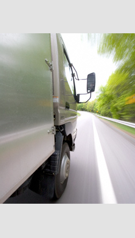
For your company “Wellcom GPS” is useful in locating vehicles, in the administration of a distribution system or in coordinating entrusted services. Your constantly company, in combination with “Wellcom GPS” can monitor positions and at any time.
“Wellcom GPS” is a Geographic Information System that integrates hardware, software, spatial data and informative data. In other words, it defines a reality in a systematic coordinate model designed to capture, store, operate, analyze and display all forms of geographically referenced information and to solve complex planning and management. Using digital cellular technology this system allows you to have a quick and easy real-time location. Your company can take advantage of this system.
The main issues that can be solved by this Geographic Information System, ordered from lowest to highest complexity, are:
Location
The system will inform you place-specific data, such as Local office, Section, Street, Geo-spot. The user also has ‘search options’ that correspond to the identifier of the device that sends the location signal.
Terms
There are categories for defining alarms related to situations which require to be validated for the fulfillment of business logistics, among them are the definition of circular or polygonal geo-fences, red areas, inaccessible areas, etc.
Trends
You have the option to make comparisons between temporal or spatial situations concerning speed and direction of displacement and statistical information of cartography.
Routes
The possibility to generate reports related to routes covered by the response units, will be visualized geographically and as tables or lists detailing distance, time and speed, useful to calculate optimal routes between two or more points.
Guidelines
Depending on the information required, you can locate points of interest such as residential customers, commercial customers, competitors and even theft events.
Having a system that provides an exact location immediately is invaluable!
This sophisticated system is able to locate anywhere in Mexico City, the Metropolitan area and other principal cities such as Toluca - Estado de Mexico, Cuernavaca - Morelos and Tijuana - Baja California.
All the maps include real references from schools, churches, shopping centers, hospitals and police stations.
The system “Wellcom GPS” specializes its technology in the following areas:
Positioning – Based on GPS technology and a constellation of 24 satellites with global coverage for a precise location.
Communications – Once the positioning information has been processed by the tracking device is transferred through GSM or GPRS.
Internet – With a simple Internet connection and a browser you can visualize the results of tracking and motion.